
16 de March de 2021
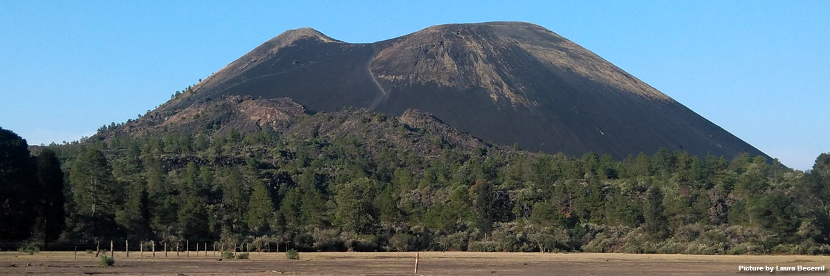
Paricutin eruption started unexpectedly on the 20th of February 1943. Pyroclastic material emerged for the first time through a fissure that appeared in the middle of a cornfield near the villages of San Juan Parangaricutiro and Angahuan. The eruption of this monogenetic volcano lasted 9 years and 11 days. The eruption built a cone of 240 meters in height and formed a lava field of 25 km2. Although there were no human casualties, lava flows occurred during each different eruptive phase buried two villages: Paricutin and San Juan Parangaricutiro.
The Paricutin eruption was systematically surveyed and monitored by geologists from several institutions, who were able to acquire data in nearly-real time about the cone growth and were allowed to map lava flows and sampled eruptive materials from all the phases of the eruptive sequence. It was also possible to reconstruct the pre-eruptive topography.

With all this information and data available, the Paricutin eruption is an ideal scenario to test lava flow simulation tools to develop volcanic hazard maps of low relief environments. This was the aim of a new study published in the journal “Natural Hazards”. Laura Becerril, researcher at Servicio Nacional de Geología y Minería (SERNAGEOMIN) from Chile and former researcher at Geosciences Barcelona, is the lead author of the studyco-authored by GEO3BCN-CSIC researcher Joan Marti.
The new study has simulated the different eruptive phases that occurred during the Paricutin eruption by using the freeware lava flow simulation code Q-LavHA. The study compared the reproduced area inundated by each lava flow with the real observed lava flows to test the strengths and weakness of a tool like Q-LavHA and to better understand the parameters that drive the lava flow emplacement.
Researchers, using previous works on pre-eruptive and post-eruptive topography, were able to generate different Digital Elevation Model (DEM) of the pre-eruptive topography and each eruptive phase. The DEMs, with a resolution of 20 meters, were used as a base to run the simulations. Moreover, by combining the available information of the pre-eruptive topography and knowing the accurate coverage of each lava eruptive phase and it driving parameters, researchers were able to reproduce the covered area for each occurred lava flow.
The authors of the study simulated the 22 eruptive phases that occurred during the Paricutin eruption on previously reconstructed paleo topography obtaining 22 different lava flow scenarios that approximated the real lava flows.
")
By converting the simulated covered areas to percentages, researchers could determine then which of the simulated lava flow fitted better with real lava flows. Researchers observed that, globally, simulated lava flow overlapped 94% of the total area which was covered by the actual Paricutin eruption. The authors of the study could also verify that the fitting degree was greater than 40% between each simulated phase and the real scenarios.
According to the researchers, this study demonstrates that future simulations of lava flows should consider that each phase of an eruption is characterized by unique and constant parameters requiring careful calibration.
The authors also noted that low-relief topography has to be considered specially and input parameters must be set carefully when modeling this type of eruption. Moreover, the authors said that “some improvements could be incorporated“ in the Q-LavHA code “to perform better simulations in gently slope terrains.
According to the researchers, the findings of this study could be useful for a real-time volcanic hazard evaluation in future monogenetic eruptions similar to Paricutin that may occur in the Micoacán-Guanajuato volcanic field and elsewhere. Their results contribute to gain insight on how to better model lava flows in gentle terrains.
Researchers from Universidad de Chile along with researchers from Miami University, Universidad Autónoma de México and from the Vrije Universiteit from Brussels participated in the study.
Original study
Becerril, L., Larrea, P. Salinas, S., Moosoux, S., Ferrés, D., Widom, E., Siebe, C., Martí, J. (2021) The historical case of Paricutin volcano (Michoacán, México): challenges of simulating lava flows on gente slope during a long-lasting eruption. Natural Hazards. Doi: https:// doi.org/10.1007/s11069-021-04607-x